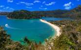
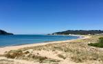
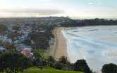
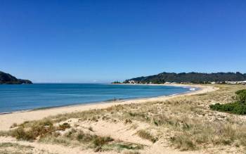
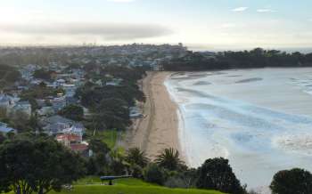
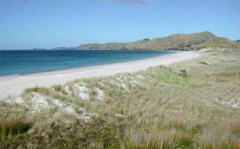
Matarangi Beach
Whitianga
North Island
New Zealand
Beaches nearby
- Rings Beach (1.8 mi)
- New Chum Beach (2.8 mi)
- Kuaotunu Beach (4.1 mi)
- Otama Beach (5.7 mi)
- Whauwhau Beach (6.1 mi)
- Ohuka Beach (6.2 mi)
- Wharekaho Beach (6.2 mi)
- Buffalo Beach (7.4 mi)
- Boulder Beach (8 mi)
- Cathedral Cove (10.8 mi)
Nearest town/city
Whitianga
Submit a correction
More North Island beaches in New Zealand
Current weather (Tue Dec 16th 07:00)
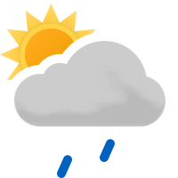
(Light rain showers)
18°C / 64°F
Sea temperature
19.8°C67.7°F
Matarangi BeachFull weather & tide times info »
5 Day Matarangi Beach UV Index

A UV Index reading of 3 or more means some precautions should be taken. For more information visit our guide to the UV Index.
Temperature Averages
Average Water Temp
Matarangi Beach tide times
What did we get wrong?
Rate Matarangi Beach
Rating: 3/5 (0 votes cast)